Professionally accredited UAS operations
When you choose us to provide your data, know you're getting the
best.
Our operators are FAA Part 107 certified and well
insured, but that's only the beginning. Our team regularly logs
continuing education hours in pursuit of the best deliverables
from the latest industry technologies and practices. Our flight systems,
equipment, and SOPs ensure you get the result you want, second to none.


Our Services
AIM strives to provide expert analysis, precise data, and quick turnaround times.
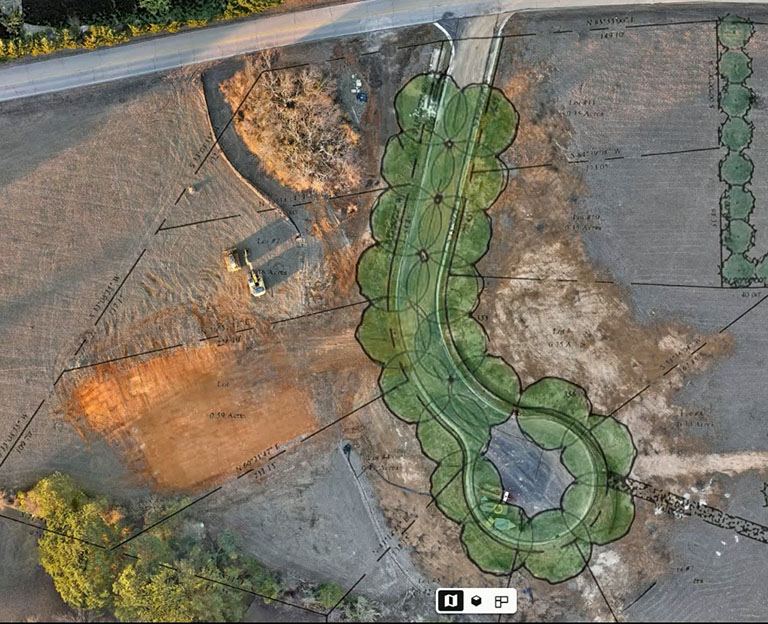
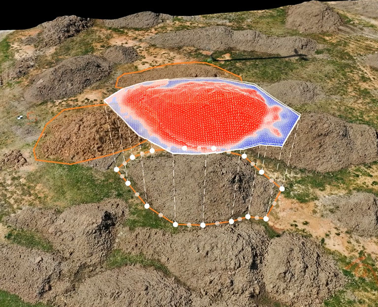
Scaled Site Inspections
With centimeter precision, our team can perform various overflights of your construction projects. With that data, we can overlay engineering plans to ensure the accuracy of the actual build-out week by week. Our systems can monitor stockpile levels, produce accurate topographical maps and data files, and point-map areas for new build-outs in a fraction of the time taken by conventional methods.
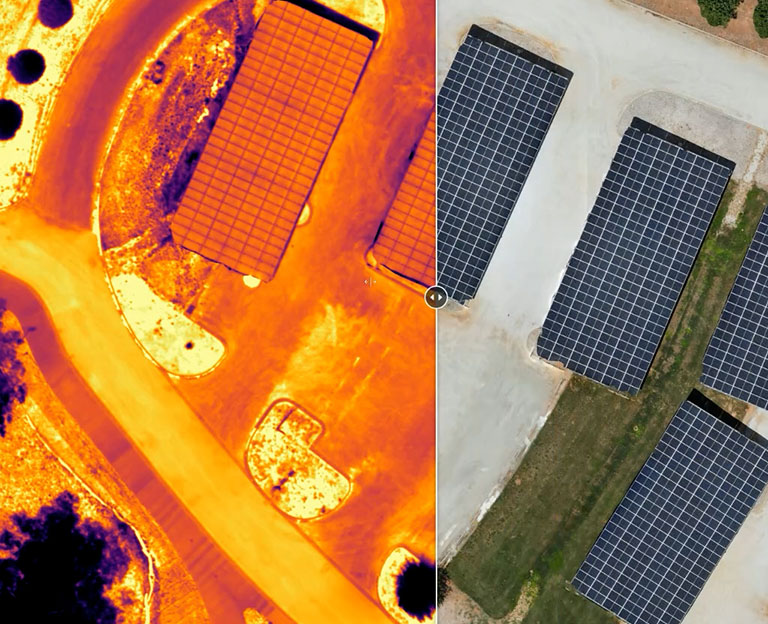
Asset Inspections
Using specialized equipment, our team can digitally scan your bridge, cellular tower, water tower, and many other critical infrastructures quickly and accurately. The customer will receive a digital asset representation so they can rotate and manipulate it in 3D space for inspection.
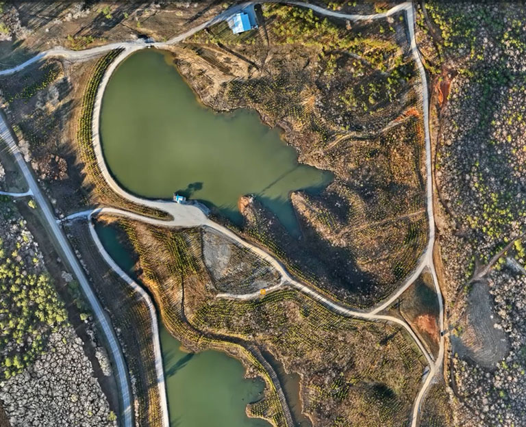
Road and Bridge
Our systems can fly over your designated areas firing over 500,000 points of light per second with centimeter-level precision to give you some of the most accurate topographical data. Using survey-grade real-time kinematics and LiDaR, we will deliver ultra-dense point cloud files that penetrate tree canopies and vegetation. The result is absolute data that can easily be imported into CAD, Revit, and other professional software suites.
Example Works
We Take Care For Every Detail

Contact Us
Please fill-out the form below and we will get in touch.
Get in Touch
Mon-Fri: Email/Chat/Callbacks
Address
Tupelo,
Mississippi, 38801